Ordnance Survey map of Caernarvonshire (Sheet SH 65), 1:25,000 scale. First published 1953, revised edition 1961. Map shows the summit of Snowdon (with mountain railway marked), Llanberis, Llyn Gwynant and Llyn Llydaw

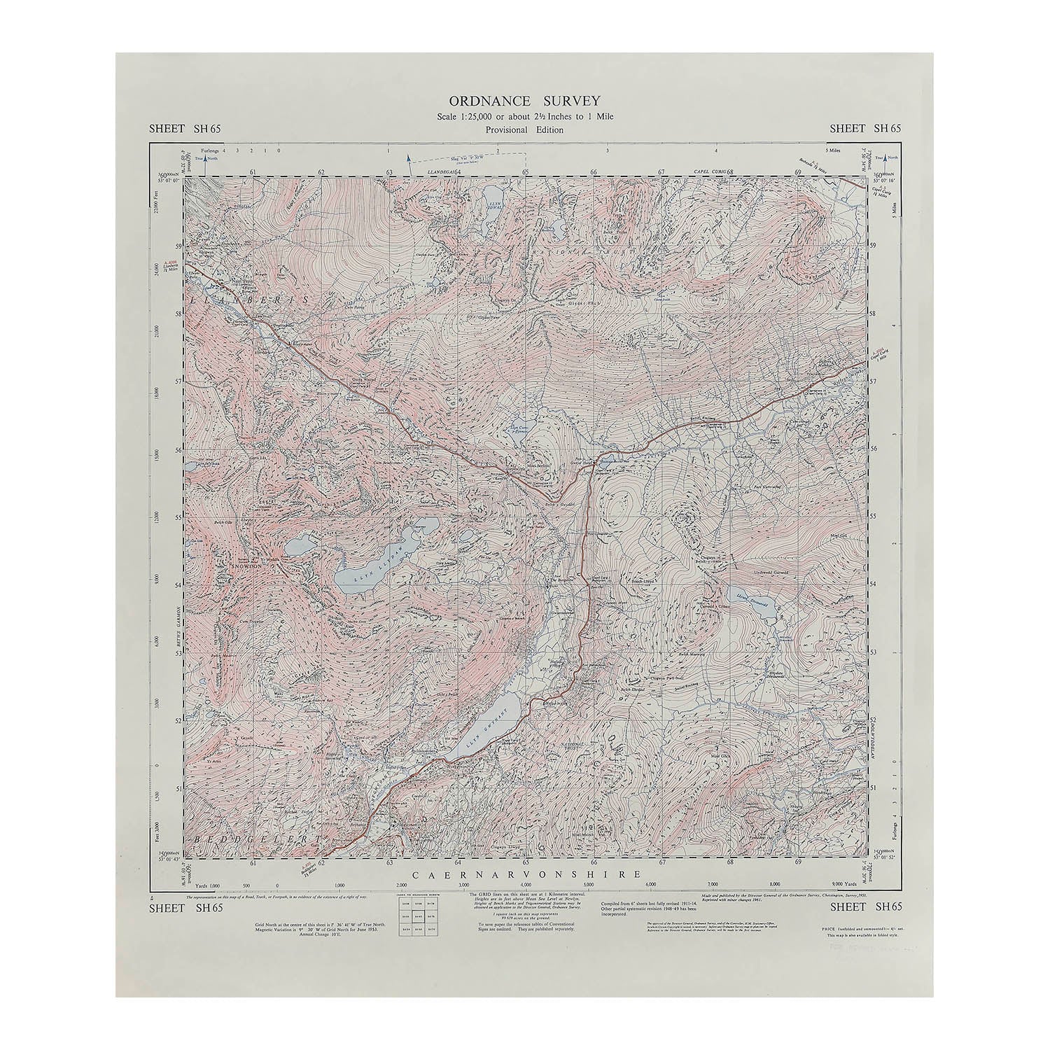
Caernarvonshire Provisional Edition Map, Sheet SH65, 1961

Anon
£25.00

Please enter a quantity.

  • Condition: A-/B+
  • Date: 1961
  • Printer: HM Stationery Office
  • Publisher: Director General of the Ordnance Survey
  • Size: 870 x 640 mm
Original Ordnance Survey map of Caernarvonshire (Sheet SH 65), 1:25,000 scale. First published 1953, revised edition 1961. Map shows the summit of Snowdon (with mountain railway marked), Llanberis, Llyn Gwynant and Llyn Llydaw. A higher resolution image is available to view on request.