Original folding Map of the London & North Eastern Railway contained within original orange card covers, 1930.

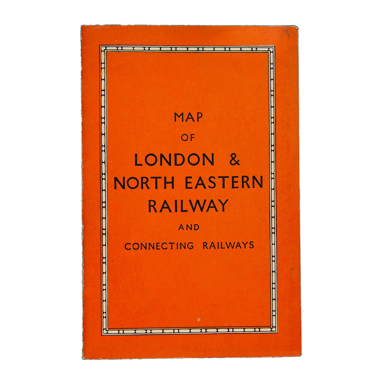
Map of the London & North Eastern Railway (card covers)

Anon
£75.00

Please enter a quantity.

  • Condition: A- (folded, as issued)
  • Date: 1930
  • Printer: George Philip & Son Ltd
  • Publisher: London & North Eastern Railway
  • Size: c. 690 x 420 mm (open)

Original folding Map of the  London & North Eastern Railway contained within original orange card covers, 1930.

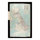
The map unfolds to show the company's rail network and steamer routes.

A higher resolution image is available for viewing on request.