folding map of British Railway history, published by John Bartholomew & Son Ltd, Edinburgh, c. 1975. The map opens to show the British Isles illustrated with key moments from railway history within a border of over 30 railway company crests and logos

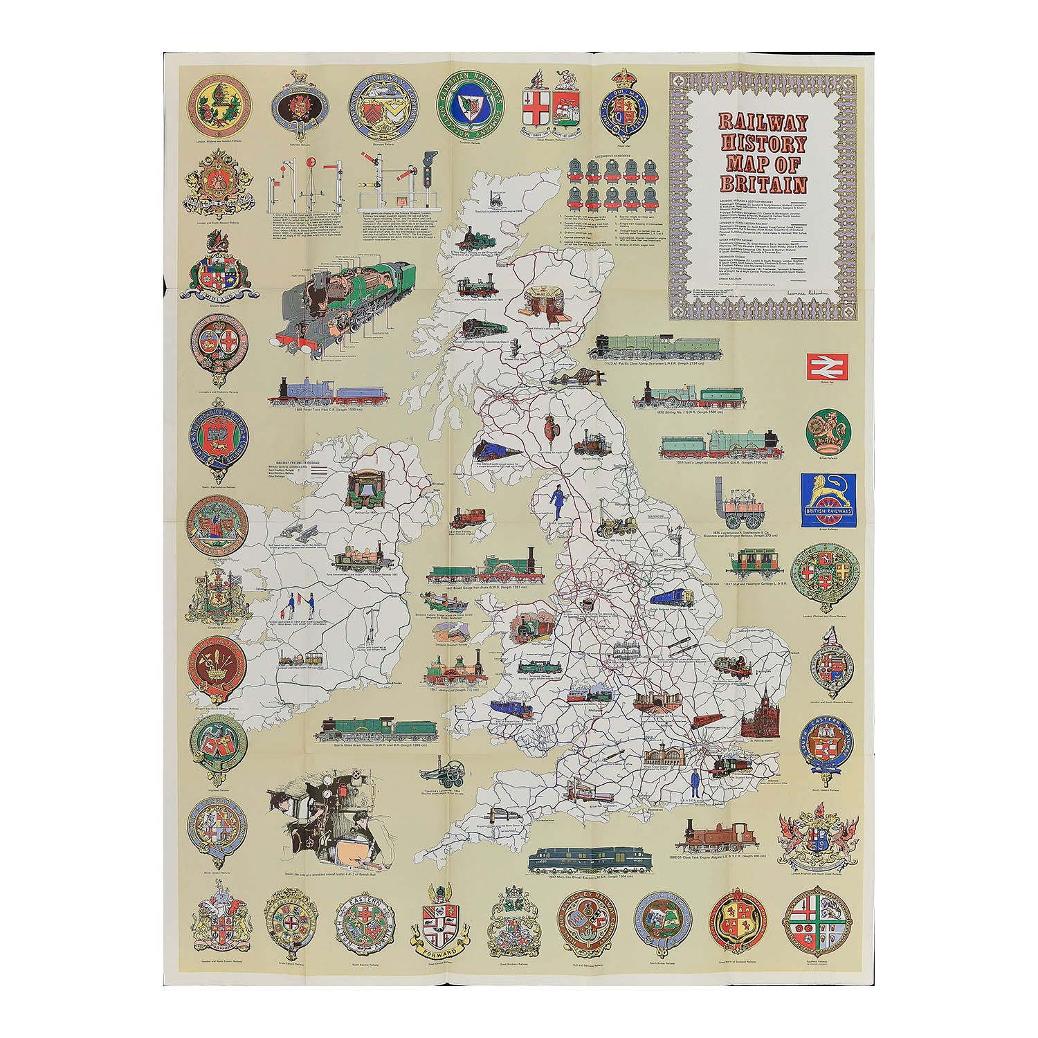
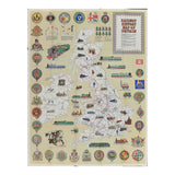
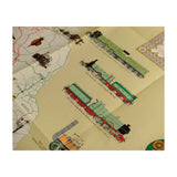
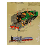
Bartholomew Railway History Map of Britain

Anon
£25.00

Please enter a quantity.

  • Condition: B (folded map. cover scuffed, map in very good condition)
  • Date: c. 1975
  • Printer: John Bartholomew & Son Ltd, Edinburgh
  • Publisher: HarperCollins Distribution Services
  • Size: 1010 x 775 mm (open)

Original folding map of British Railway history, published by John Bartholomew & Son Ltd, Edinburgh, c. 1975. The map opens to show the British Isles illustrated with key moments from railway history within a border of over 30 railway company crests and logos. A higher resolution image file is available for viewing on request.