folding map of the City and County of Bristol, published by the Bristol Development Department ‘on the occasion of the visit of the British Association for the Advancement of Science’, 1955. The map unfolds to show a scaled street map of Bristol (1 mile to 4 inches), within a broad decorative border illustrated with famous people associated with the city and places to see

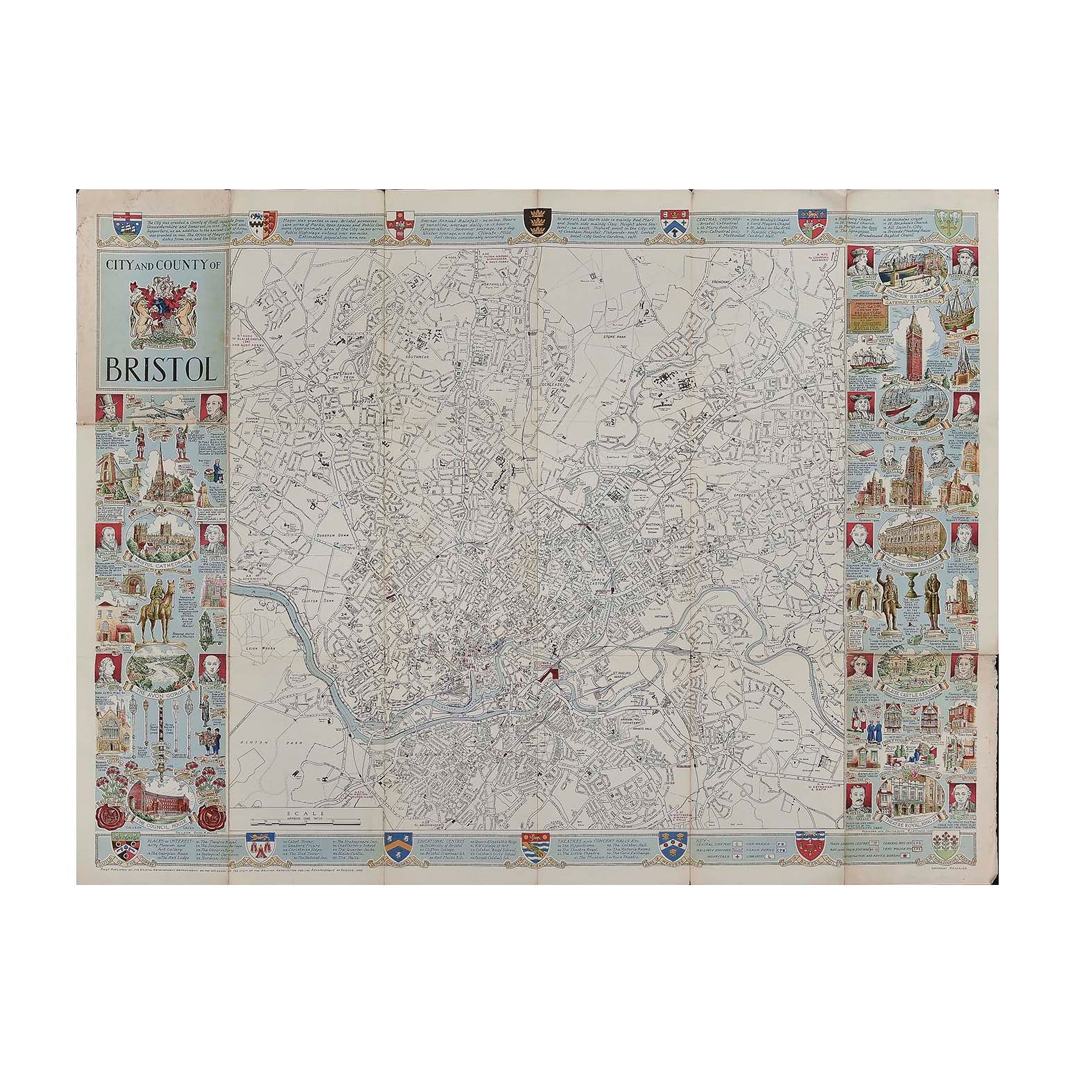
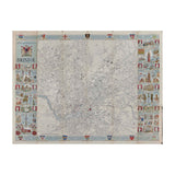
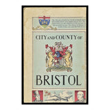
City and County of Bristol map

RJ Dymond
£75.00

Please enter a quantity.

  • Condition: B (folds, two closed splits to map)
  • Date: 1955
  • Designer: RJ Dymond
  • Publisher: Bristol Development Department
  • Size: 975 x 740 mm

Original folding map of the City and County of Bristol, published by the Bristol Development Department ‘on the occasion of the visit of the British Association for the Advancement of Science’, 1955. The map unfolds to show a scaled street map of Bristol (1 mile to 4 inches), within a broad decorative border illustrated with famous people associated with the city and places to see. A higher resolution image file is available for viewing on request.