London's Transport Systems
B.G Lewis
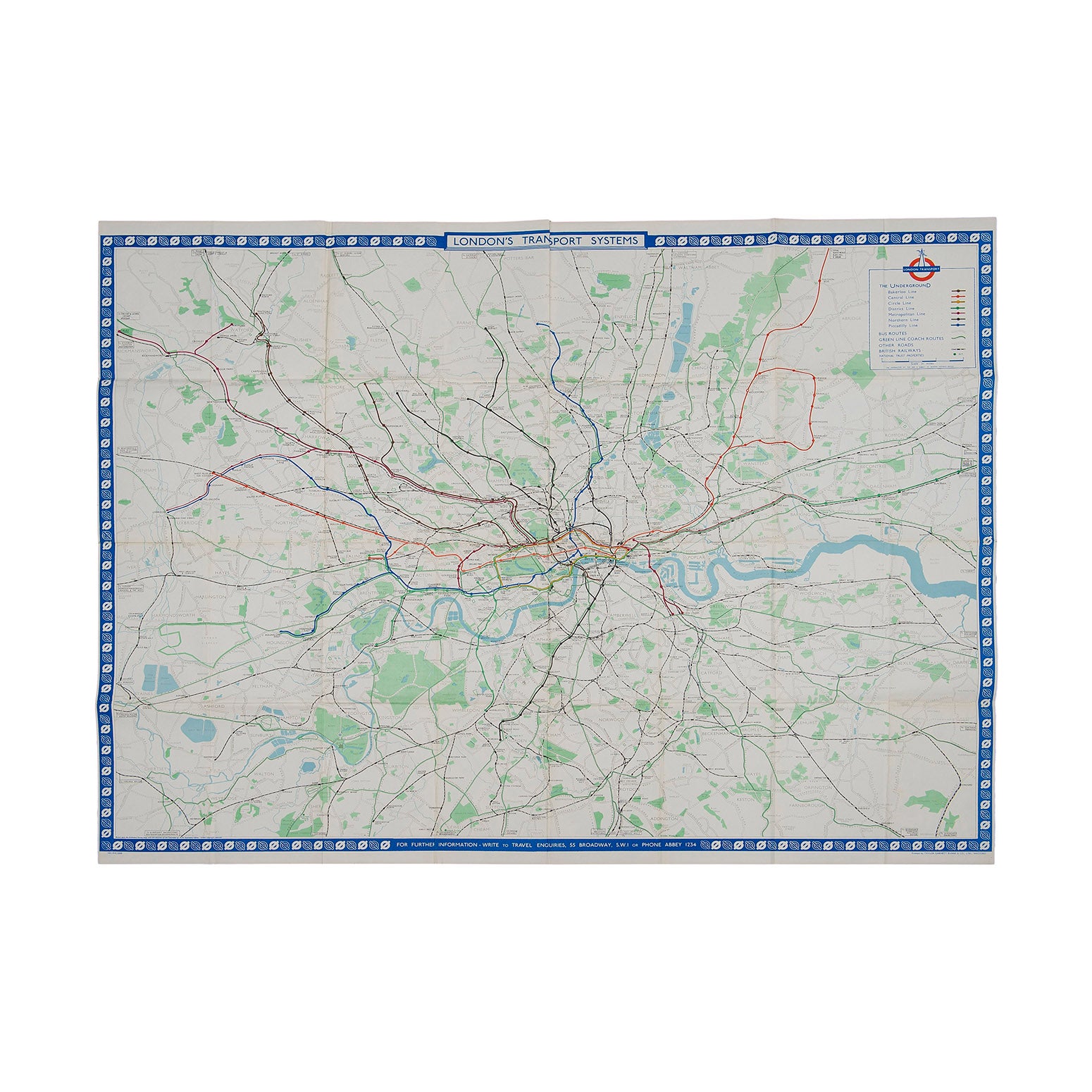
Original London Transport system map for display at Underground and bus stations, designed by R.G. Lewis, 1962. Based on the Ordnance Survey, this geographical map shows the entire tube system, together with bus and coach routes operated by London Transport. The border design features the famous roundel logo which is repeated in the key (top right) with the unusual addition of a capital ‘N’ to indicate ‘North’. Folded. A higher resolution file is available for viewing on request.
