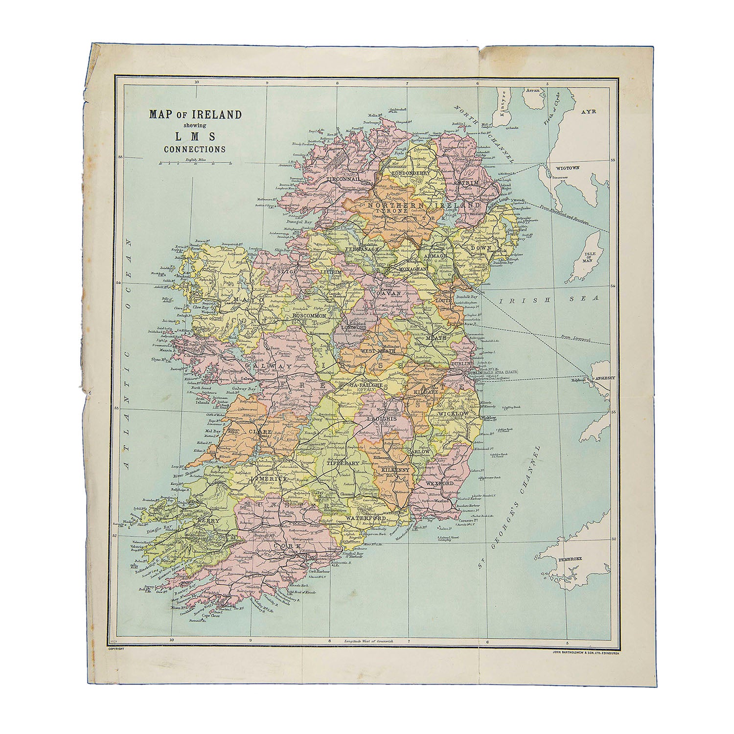
Map of Ireland showing LMS Connections
John BartholomewOriginal folding map issued by the London Midland and Scottish Railway in about 1930-35, showing the Irish rail network.
This map was probably originally printed for insertion in a contemporary guide book.
A higher resolution image is available for viewing on request.
