Original folding Second World War map, issued by the Daily Telegraph, depicting the theatre of war in China, Asia and the Pacific (including Australia), c. 1940/41. The map shows strategic roads, railways and canals, steamer routes, oilfields and pipe lines, and naval bases held by the combatants.

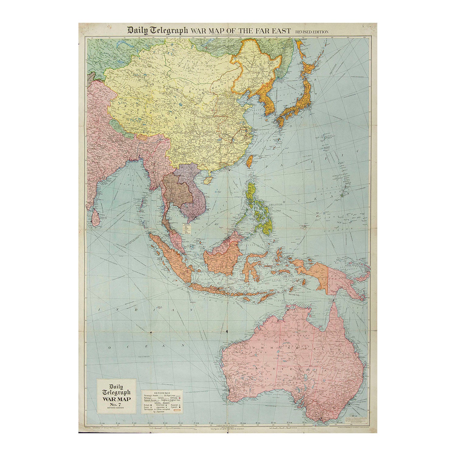
Daily Telegraph War Map of the Far East No.7 Revised Edition

Geographia Ltd
£120.00

Please enter a quantity.

  • Cartographer: Geographia Ltd
  • Condition: B / B- (signs of age, wear along fold lines, fold lines on reverse strengthened with reversible archival tape)
  • Date: c. 1940/41
  • Publisher: Daily Telegraph
  • Size: 1000 x 760 mm

Original folding Second World War map, issued by the Daily Telegraph, depicting the theatre of war in China, Asia and the Pacific (including Australia), c. 1940/41. The map shows strategic roads, railways and canals, steamer routes, oilfields and pipe lines, and naval bases held by the combatants. A higher resolution image is available for viewing on request.