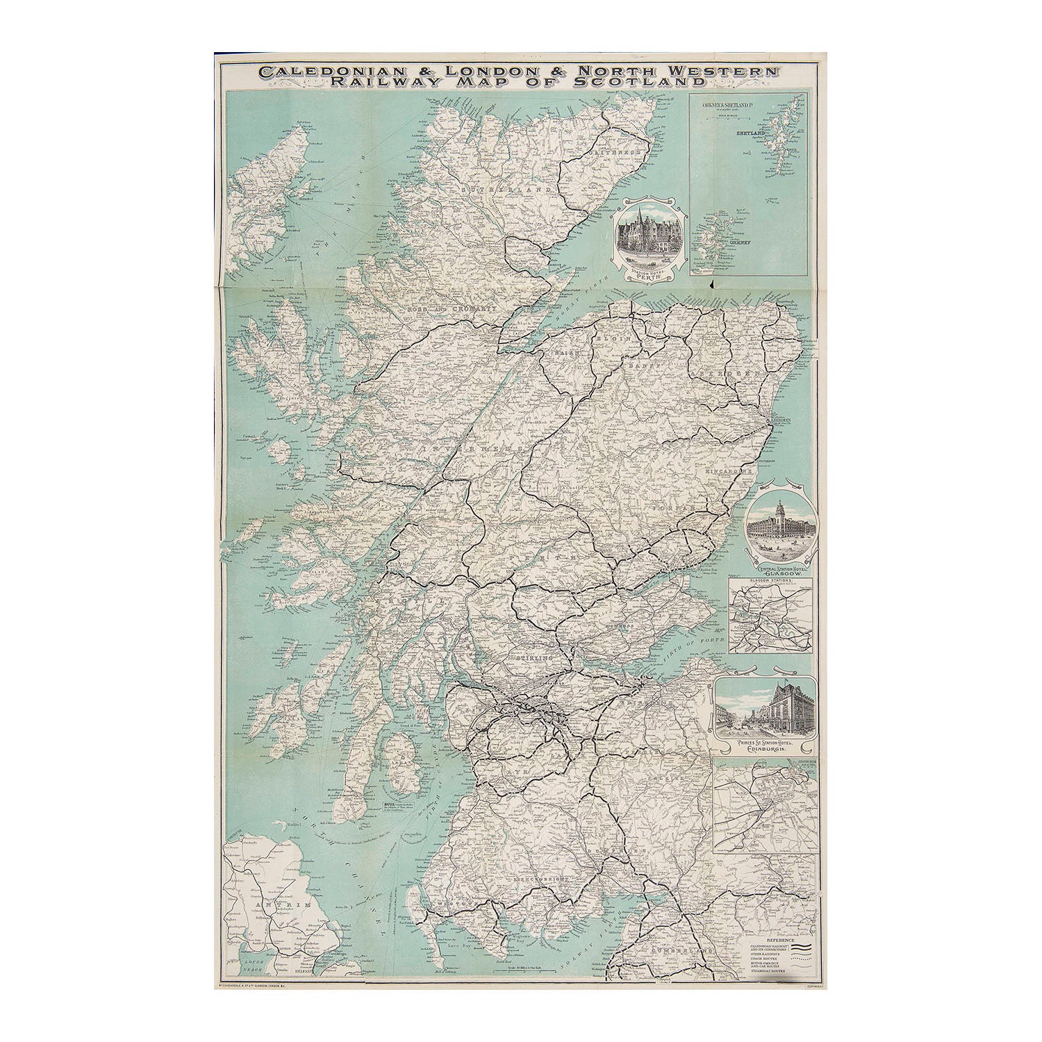
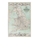
London North Western and Caledonian Railways map of England, Wales & Scotland
AnonOriginal double sided folding map published by the London & North Western Railway and Caledonian Railway, c. 1920.
A beautifully produced map. One side shows a map of England and Wales, focusing on the network of the London & North Western Railway, with vignettes of the company's hotels in decorative borders at the top and base.
The reverse depicts the two companies Scottish rail network, with vignettes of the Caledonian Railway's hotels at Glasgow, Edinburgh and Perth.
Higher resolution images are available for viewing.
