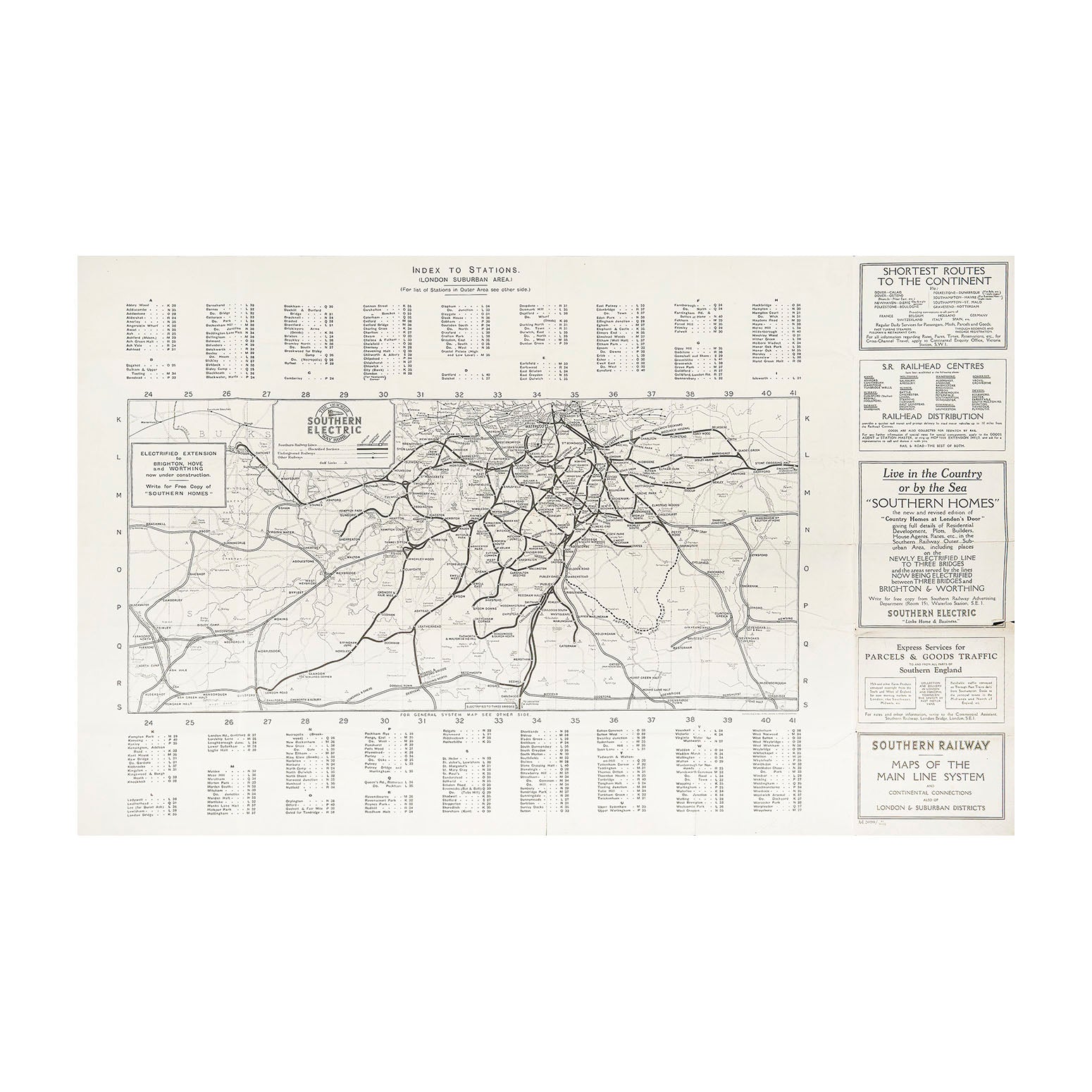
Southern Railway Maps of the Main Line System (folding map)
AnonOriginal folding map issued by the Southern Railway in August 1932.
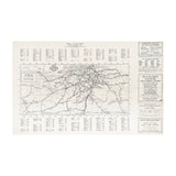
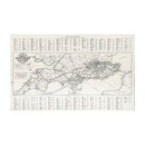
The map unfolds to reveal a plan of the Southern Electric London network on one side, and a southern England rail map on the other. The latter, entitled The Road to Sunshine, includes cross Channel ferry routes operated by the company.
Higher resolution image files are available for viewing on request.
