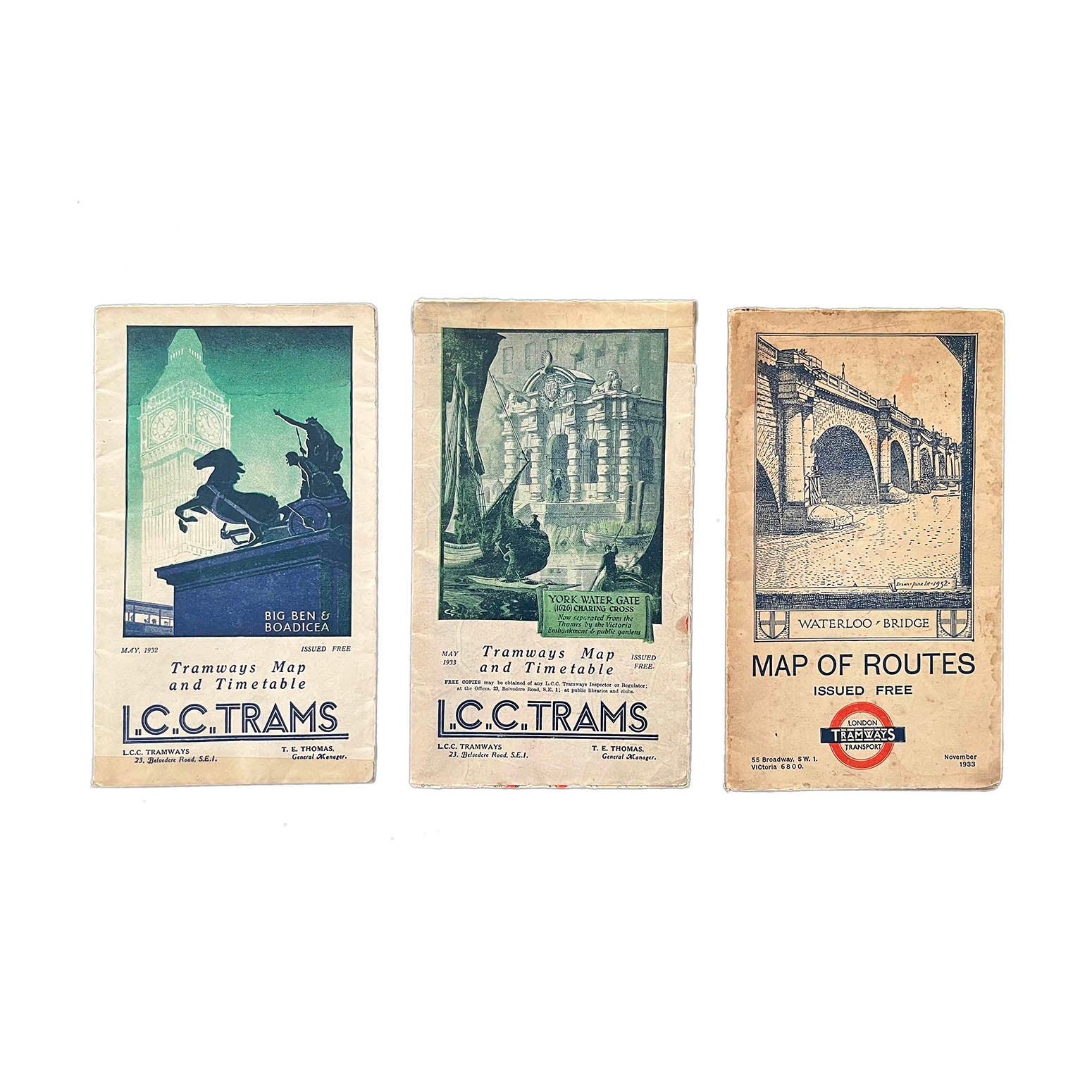

Three London County Council/London Transport Tramways folding maps (1930s)
AnonThree original London County Council (LCC)/London Transport Tramways folding maps, with illustrated covers depicting Big Ben & Boadicea (May 1932), York Water Gate (May 1933), Waterloo Bridge (November 1933).
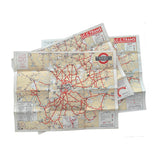
The maps unfold to reveal the LCC tram route map of London. The LCC Tramway network became part of London Transport in 1933.
Higher resolution images are available for viewing on request.
