Westminster Bank map of central London
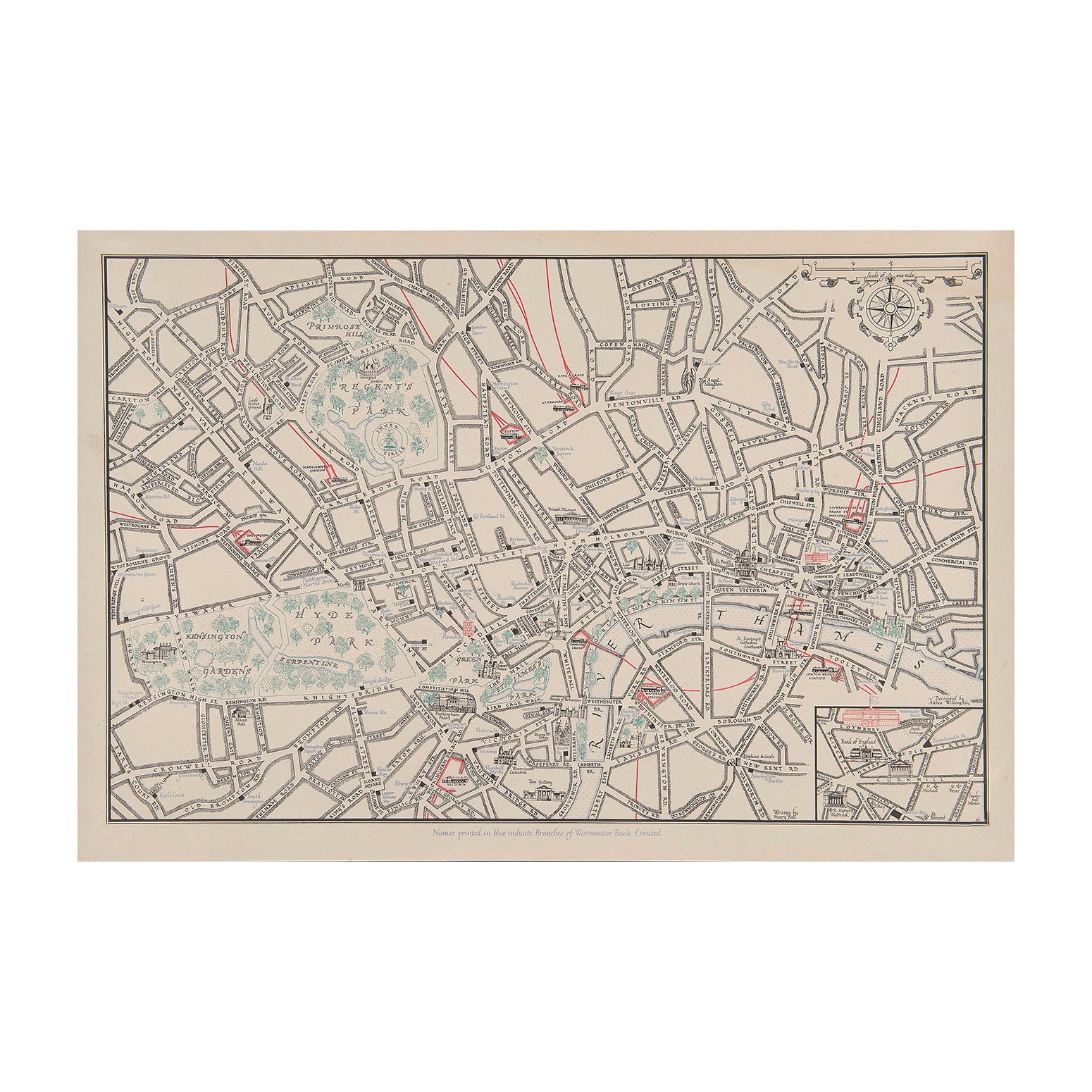
Althea Willoughby & Henry BallOriginal semi-pictorial map showing the location of branches of the Westminster Bank in central London, c. 1950. Illustrated by Althea Willoughby with calligraphy by Henry Ball.
The map depicts places of interest and the mainline railway stations (each of which is represented by a charming steam locomotive). Probably printed for a guide book and likely to be a proof as it came from the archives of the Curwen Press and is unfolded.
Althea Willoughby was a British artist and illustrator who designed several posters for London Transport among other clients.
A higher resolution image is available for viewing on request.
